Canton of Aargau - A plus for safety and efficiency
The Canton of Aargau brings its entire canton road network onto the screen
The infra3DRoad enables the Canton of Aargau to obtain information, map geodata and measure the road network direct from the office. The realised 3D image data service delivers the entire road network of Aargau direct to the work place of the structural engineering department and is also available to external engineers as a precise data foundation for project development.
The challenge
The Canton of Aargau was looking for a way of making the dangerous and time-consuming on-site surveys on the canton’s road network more efficient and safe. They also wanted the collected data to be available at all time and to facilitate flexible working processes.
The detailed information should be available to various departments from the work place without previous field work being required. Furthermore, the collected data should be accessible to everyone in the structural engineering department, as well as to external engineers for the purposes of project planning.
It should streamline working processes in the departments involved, simplify communication and make dangerous on-site surveys unnecessary.
The solution
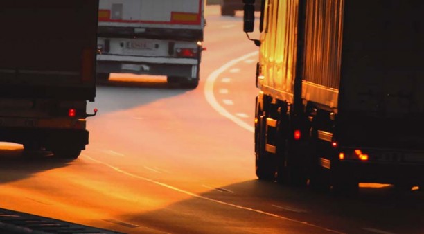
iNovitas’ measuring vehicles traversed the entire road network of the canton in only 10 days and generated a high-resolution, three-dimensional digital copy of the entire road space. The stereo image-based mobile mapping turned the raw images of approximately 1200 km of road into highly precise, georeferenced 3D image data. The digital image of the road network was available to the team in the structural engineering department, as well as to all engineers involved at all times, directly from their desk via Web Client
Due to the vast amount of raw image data from mobile mapping, iNovitas developed a special data processing mechanism that turns the collected raw images into georeferenced 3D image data. These are now available to the entire structural engineering department for their daily use.


Flexible use
The Canton of Aargau uses the infra3DRoad for a diverse range of tasks, such as virtual field surveys, information acquisition for communicative tasks, analysis of traffic safety, as well as inventory creation for street furniture. This means:
Virtual surveys of the road space for the purposes of maintenance
Development of planning and renovation measures using the 3D image data base
- Action plans for improving traffic safety
- Information channel for internal and external communication tasks
- Development and tracking of an inventory of zebra crossings
- Creation of an inventory of street furniture, eg. traffic signals
The bottom line: 30% cost saving and increasing safety
The versatile use of the infra3D service makes numerous working processes in the structural engineering department more efficient, from analysis and inventory creation, to planning and projection. The digital image of the street space makes additional information available at all times and is available to everyone.
Since the need for on-site surveys is reduced by iNovitas’ vehicle traversing the entire road network of the canton, there are time savings in this area and occupational safety is also improved.