Additional modules
The infra3D service individually
Advanced Georeferencing
The image data service can, where required, be enhanced to your specified level of accuracy for individual parts or in combination with a project-specific project service or the entire image data base. This requires suitable 3D control points in the specifed project parameters.
Virtual Project Space
Make individual parts of your infra3D image data base available via Web Client to your project partners and third parties for project-specific evaluations and alanyses. We provide you, as required, project-specific Web Client access with configurable functionality, viewable image sequences and special geodata layers.
Geodata visualization
Numerous subjects such as data for pipe cadaster, property boundaries, gas, telecommunications, mapping, inventories, can be displayed in the infra3D Web Client. This allows you to use you spatial data, overlaid and correctly situated, variously in your visualization.
Anonymization
Get the most out of it by making your infra3D service available for public use. The infra3D image data base can be pixelated to comply with data protection requirements.
VitasQuad
Our VitasQuad enables the data acqusition of your bikeways and park paths.
Metrological Condition Assessment (additional sensor required)
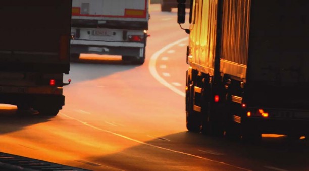
Assess the road condition metrologically with infra3D image data collection. The simultaneous measurement campaign bundles your resources; it is efficient, economical and also environmentally friendly. By using an additional profile scanner, the transversal plane, ruts and depth of water level can, if required, be automatically recorded.
Linear Reference Frame
Orient yourself and your data by the road or rail axis. infra3D service can easily be supplemented by an additional linear reference frame. We would be happy to advise you about installation and your specific requirements.
Tunnel Images (additional sensor required)
Our additional configurable tunnel stereo system brings light into the darkness and brings tunnel tubes into the daylight and of the office. For special requirements, the tunnel tubes can also be lit according to your needs by active light sources.
Panoramic Images
Gather extensive information about buildings and facades and with that, a better overview thanks to our high resolution panoramic images. The 3D-Mono images are being integrated into the panoramic images seamlessly, which makes it possible to use the familiar simple measurement methods in the merged parts of the panoramas.
Road Excavation Management
Road excavation can be quickly and simple managed with the infra3D web client. Our infra 3D enables you to be always up to date. You are able to find out existing or planned excavations very easily. The list of attributes which can be displayed in the infra3D web client, shows all the necessary detailed information about your road excavation.
Clearance Analysis
Analyse the existing light space along the railway corridor. This module allows you to present and pass through the infrastructure corridor in light space discs. Traverse the railway network with specified vehicle profile types and detect any problem areas.
Contact Wire Analysis
This module offers the ideal basis for a systematic network-wide analysis of the lateral deviation and contact wire height related to the main track axis. With the infra3DRail, the catenary sag (curve) can also be determinated.
Nominal/Actual Axis Comparison
This module enables a systematic analysis based on the known nominal axis (track alignment). Any deviation from the nominal track position which needs to be corrected can be detected easily.
Track Quality Control (additional sensor required)
The high resolution rail track scanner taken on measuring campaigns, records the railhead geometry and the track route in detail and with great precision. From this data the parameters track width, protrusion, torsion, longitudinal level, as well as the actual track axis are determined automatically and with a high degree of relative accuracy.