3D Mobile Mapping
Our stereo image-based acquisition system - Innovative and Mobile
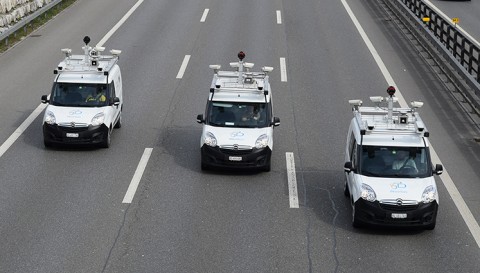
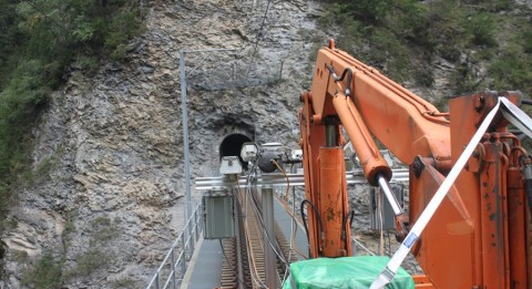
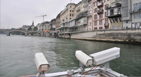
Our mobile mapping system (acquisition system) comprises several stereo systems and a navigation solution, facilitating mobile data collection on various carrier platforms.
How it works
The mobile mapping system (3D mobile mapping) comprises configurable stereo camera systems, INS/GNSS –based navigational sensor technology and a controller, which controls the stereo system release, synchronizes the release points with the navigation data and records raw image data. The navigation data recorded during the measuring trip is used to calculate precisely the absolute position and alignment of every stereo system in the space.
Technical details of the panoramic and stereo systems
- Standard recording configuration allows 360° image coverage
- Project specific recording configuration with up to five stereo systems
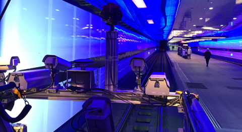
- Tunnel stereo camera system can be integrated
- Geometric resolution: 67 MP
- Radiometric resolution: 12 bit
- Resolution with up to 30 images per second
- Configurable stereo base (measurement range)


