infra3DLocal
The infra3D service optimized for communities
infra3DLocal gives you ongoing access to a community’s street space. infra3DLocal enables you to survey, assess and plan infrastructure objects, makes it easier to present the project planning and provides decision-makers with the optimal basis for making decisions.
More efficient project work, maintenance and planning
Many work processes, particularly structural and operational maintenance of your infrastructure systems require a wide range of spatial data. The infra3D service allows you to collect this data efficiently and flexibly, direct from your work place.
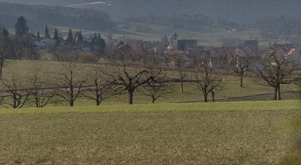
infra3DLocal enables you to assess the condition of a locality’s roads. The precise digital image gives you comprehensive information for analysing the condition of the roads, makes it easy to extract cross-sections, markings of street furniture and limit distances. Virtual field surveys, georeferenced online-surveying and condition assessment mean that you do not need to do on-site surveys and so your efficiency is increased.
 / Mapping of existing infrastructure objects") Precise overlay of various utilities assets (cadastral data) / Mapping of existing infrastructure objects
Precise overlay of various utilities assets (cadastral data) / Mapping of existing infrastructure objects Visual analyses of waiting areas and pedestrian walkways
") Quality control of various utilities assets (cadastral data)
Quality control of various utilities assets (cadastral data) Precise overlay of cadastral survey data
 Road excavation management
 Precise mapping of various geo objects
 / Mapping of existing infrastructure objects")

")


Applications
- Conducting virtual field surveys
- Project planning and design
- GIS mapping & inventory
- Road condition assessment
- Road excavation management
- Project communication
- Road safety inspection (RSI)
- Analysis of special transport and emergency routes
- Outdoor advertising etc.
The benefits of the infra3DLocal
Efficiency
The 360 degree view with its unique precision saves you time-consuming field surveys. They can be done virtually with infra3D, whenever and wherever you want. Collecting basic data can be done directly from the image service.
Simplicity
The web-based use is simple and intuitive. Geodata can be collected and maintained simply and quickly. The individual configuration of infra3D service provides needs-oriented use.
Integration capacity
The infra3D service can link to an existing geographical information system (GIS), as well as numerous third party systems. Existing geodata can be refined. Data can be exchanged simply between a wide range of different systems.
Precision
Unique precision enables you to carry out evaluation and assessment of road surfaces, cross-sections, markings, signalling or limit distances from your work place.
Simplification
Planning, presentation and communication of projects is simplified by the image database, which presents specific geodata and projects in their real context.