infra3DEngineering
Efficient despite rain. Collect geodata indoors
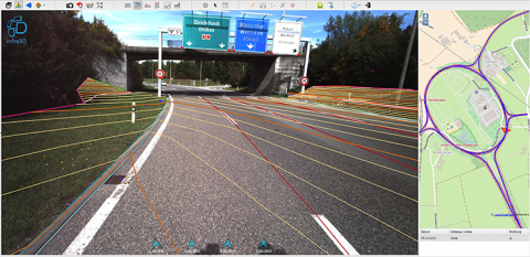
To enable you to provide your mapping and evaluation services efficiently and safely on the tracks and roads, the digital image offers flexible base data in the form of high resolution georeferenced 3D images. Specific to the project, we create for you an infra3DEngineering with which you can simply and efficiently create mapping or elevation models with the desired level of precision and detail. We adapt the image data photographic configuration, as well as the precision of referencing to meet the needs of the project. Frame your evaluations and analyses and communicate them in an intuitive way to your project partners and clients.
- Street furniture and inventories
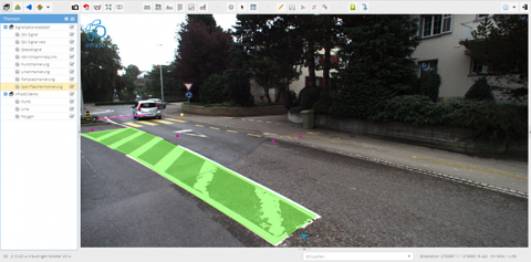
Recording and maintaining various cadastral data and issues in the street and railway corridor. - Implementation plans
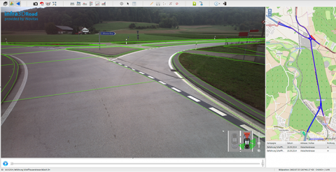
Create plans simply and flexibly for the work carried out or its verification. - Surveys for building project planning
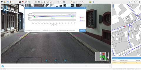
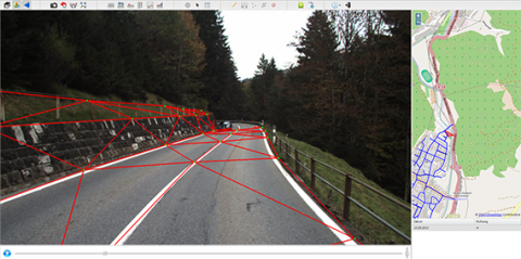
Simple and flexible surveys and situation mapping. Mapping breaklines and individual points for the simple extraction of digital terrain models. - 3D point clouds and image processing
Automatic extraction of dense RGB 3D point clouds from the infra3D image data base for automatic derivation of road profiles or high resolution terrain models. - Road condition and structure evaluation
The high resolution means that the condition of roads and buildings can be visually checked. Recurrent measuring campaigns can provide Change Monitoring solutions. - Tunnel assessments
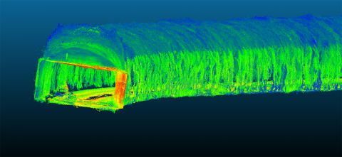
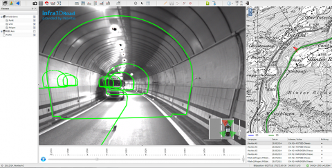
Our additional tunnel camera system brings light into the darkness and allows you to carry out precise geometric analyses and mapping work in tunnels with our Stereovision Client.

